Varėna best places to visit
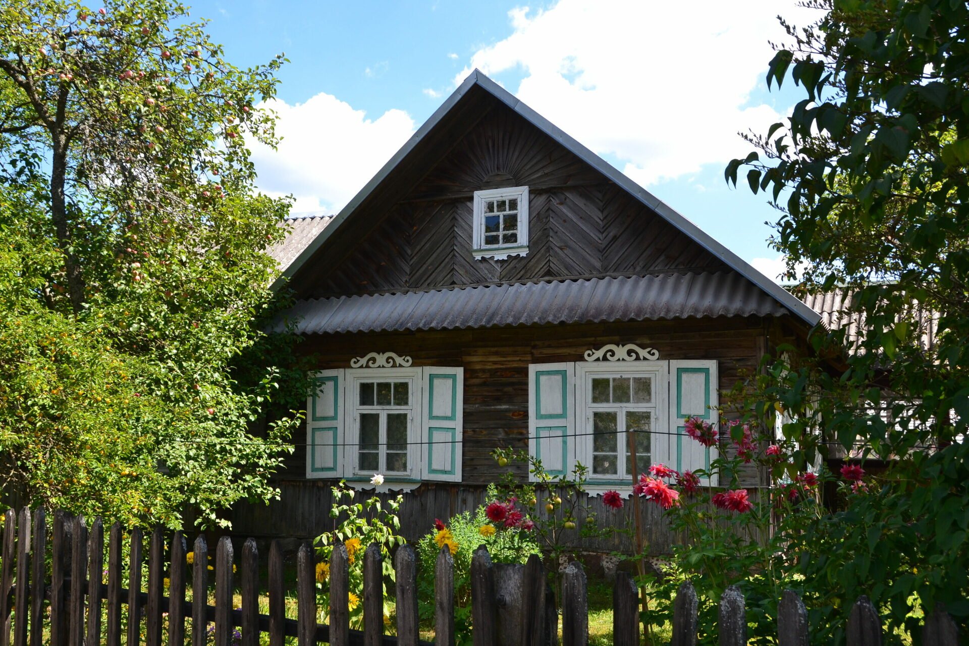
Musteika Village and Tree Beekeeping
Locations on Maps: https://goo.gl/maps/CMpbdzCon44uQhLj7
The oldest known written information on beekeepers keeping wild bees in hollow trees, the bees, honey and wax date back to the 13th century. In the old times, people used honey and wax to pay their church taxes. In return of half of their honey and wax, tree beekeepers would be released from their obligations to the manor and would also receive a half of volok (around 26 acres) of land. Wax used to be one of the main exported goods. It was widely used for religious purposes in churches and monasteries as well as for making writing utensils and metalworking.


The Dzūkija National Park has 50 tree hollows remaining, out of which 16 were decreed objects of natural heritage. To preserve the traditions of this formerly popular craft for the future generations, a tree beekeeping exhibition and an educational path connecting 6 old and 11 new tree hollows were established near the Village of Musteika, which is renowned for its architecture and traditions.

Led by a beekeeper you can visit the local apiary, where you will witness beekeepers caring for the bees in hollow logs, handling honey and wax and making hollow log beehives and small bait hives called ‘vabikas’ to lure swarms. You can taste fresh honey, try your hand at crafting and get familiar with the old Village of Musteika and its surroundings.

The educational trail of 3.3 km in length will take 1.5 hours to complete and lies 5 km away from Musteika Village. Taking a walk along this pathway, you will see many pines with hollows that remind of one of the oldest crafts of this land and a mosaic of sandy dunes and small wetlands that are inherent to the region of Musteika Village. You will learn many interesting facts about the history of beekeeping and realize the hard work done by the local beekeepers.
Merkinė Local History Museum
Locations on Maps: https://goo.gl/maps/fTs2KFAKB73bMAJLA
Merkinė Local History Museum was established in a former mosque built in 1888 at the time when Lithuania was occupied by the Russian Empire. The mosque was constructed from the bricks of an old city hall of the Renaissance style that had stood in Merkinė City for 300 years.
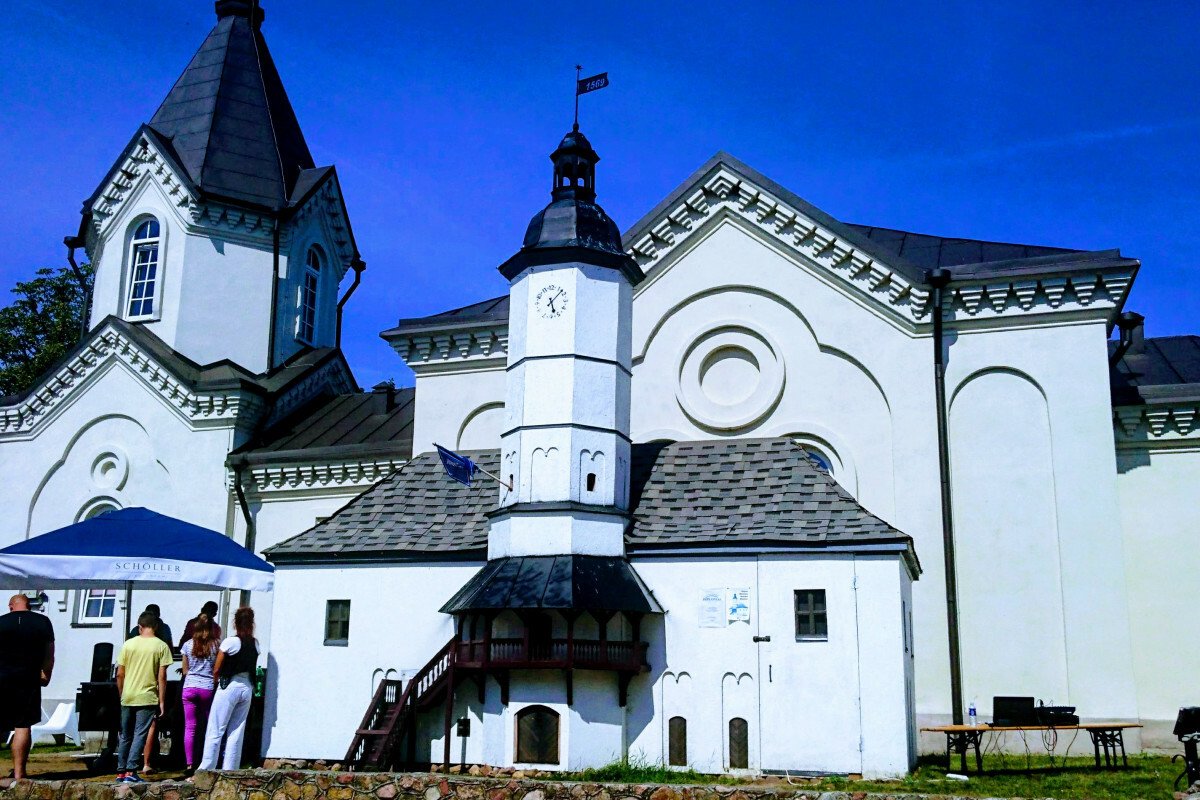
The Museum dates back to 1956, when the first exhibition of antiquities was opened in Merkinė High School by Teacher Juozas Vitkus. The exhibition was gradually expanded and then transferred to the mosque in 1968. At that time, the mosque stood empty as it was closed down during the Second World War.

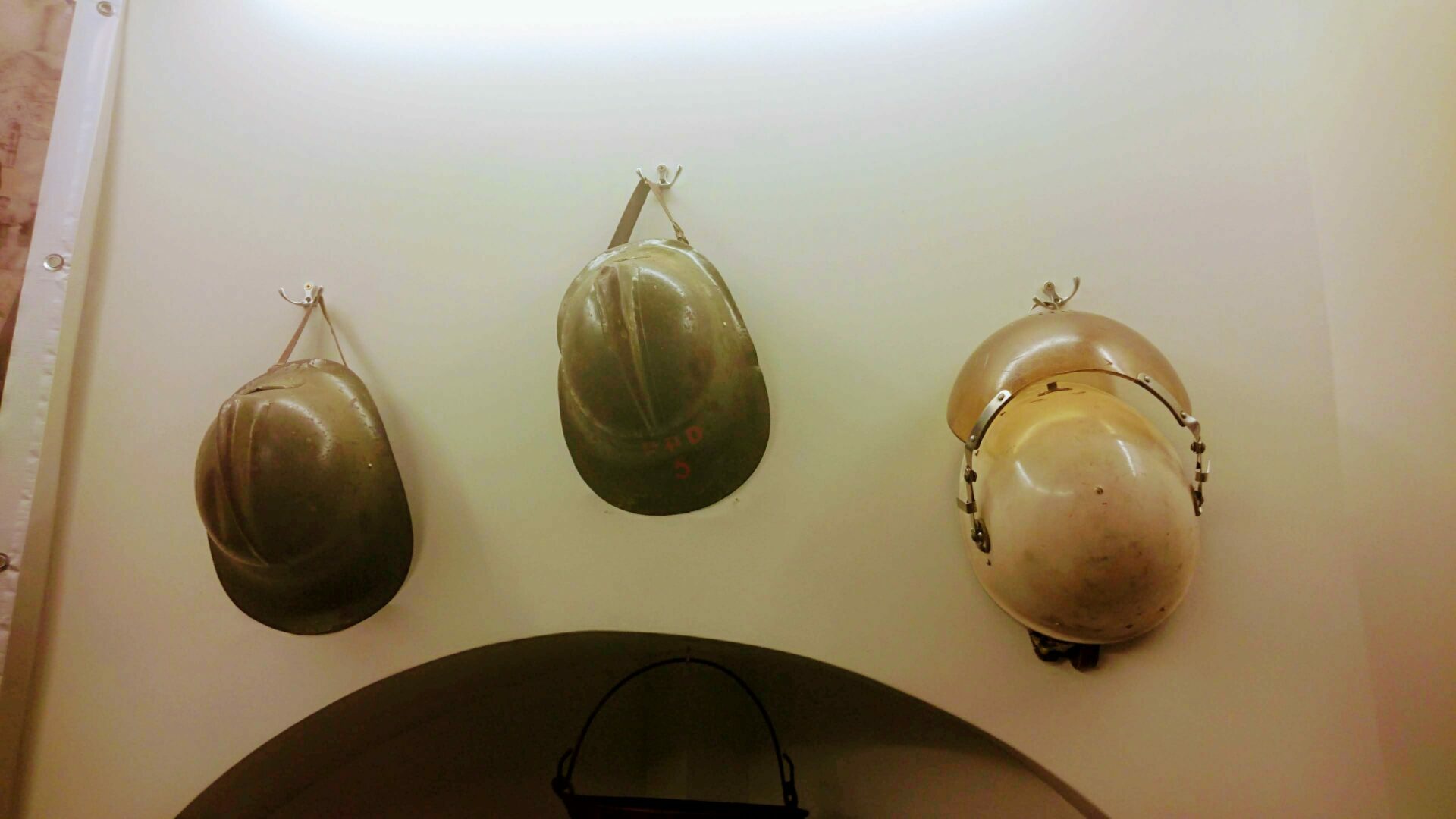
In 2013, the Merkinė Local History Museum opened its doors offering an updated exhibition containing:
- Findings from the Stone Age, Bronze Age and Iron Age illustrating the lives of the first settlers around Merkinė
- An ornate bell of the Merkinė City Hall molded and cast by Joanes de la Marche in Vilnius in 1670 reminding of the glorious days of Merkinė from the 16th to the 18th century, an impressive collection of tiles, other archeological findings and a historical city hall model
- Exhibits (books of prayers, photos, documents, personal belongings) dating back to the end of the 19th and the beginning of the 20th century and highlighting the lifestyle of Merkinė residents and other local people in the background of complex historic events
- Documents, photos, weapons and other valuables from the 20th century speaking of the occupation times, holocaust, exiles, the Lithuanian guerilla warriors (partisans) and their fight for the freedom of their homeland.
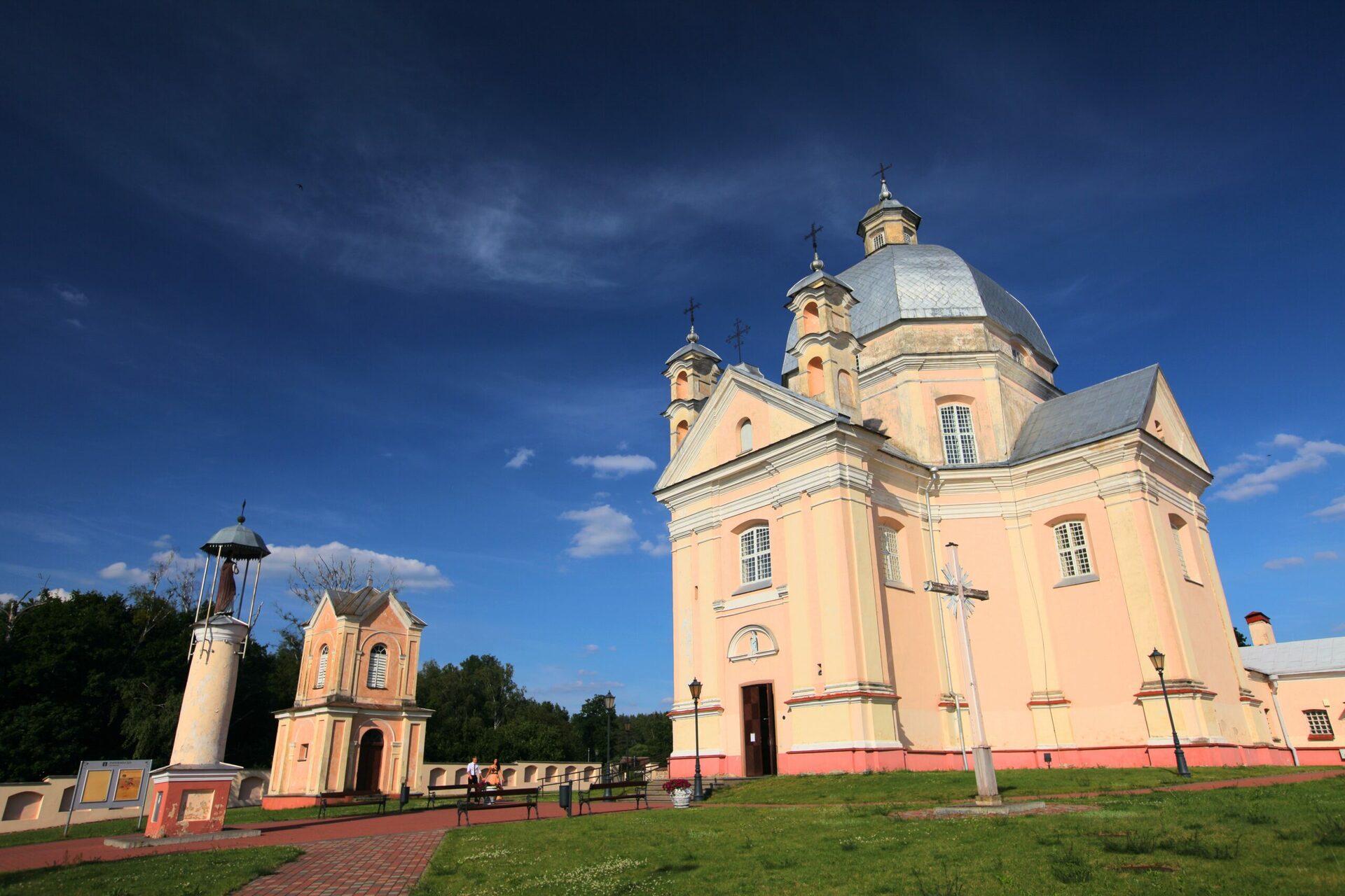
Liškiava Church and Monastery Ensemble
Locations on Maps: https://goo.gl/maps/45dpNmLSM8TBfSiX9

In 1697, Vladislovas Jurgis Kosyla and his wife bequeathed their assets to the Dominican Order. The Dominicans used the money to construct a valuable architectural ensemble in the style of Late Baroque of the 17th century. The 18th century was the heyday of the Dominicans of Liškiava. However, after the third partition of Poland and the land of the Polish–Lithuanian Commonwealth, Liškiava ended up as the territory of Prussia. The government then decided to add to its treasury by demolishing the monasteries and seizing all the valuables they came across.


Father Luščinskas was the last Dominican friar who lived in Liškiava. He died on June 18, 1814 and was buried in a tomb under the Dominican church. His death marked the end of the Dominican reign in Liškiava.
The Liškiava Monastery Ensemble is known for its rich heritage. The awe-inspiring Church of the Holy Trinity built in the style of the Late Baroque is the dominant element and the main attraction of this architectural ensemble. The monumental organ played by the father of Mikalojus Konstantinas Čiurlionis in 1899 still stands intact in the church to this day.
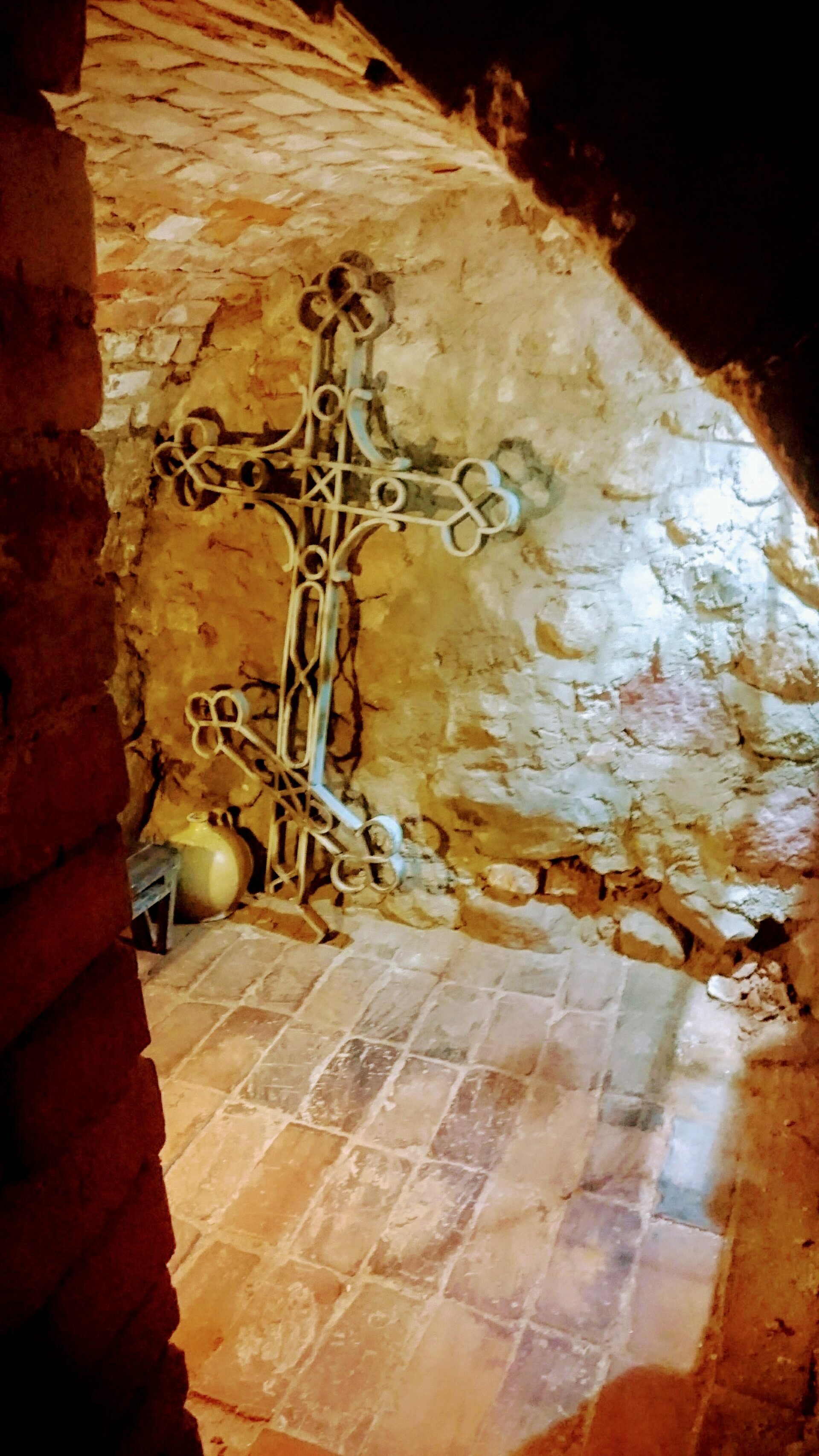
The seven altars of the Holy Trinity are some of the most valuable examples of Rococo in Lithuania. The church has long been renowned for its miraculous painting of Mary the Mother of God. The burial chambers in the church are used to store clerical clothing, kerosene lamps and other items reminiscent of the lifestyle led in this sacral place. The mummified bodies of monks laying in their caskets are a testimony of the fragility of our lives.
Margionys Village
Locations on Maps: https://goo.gl/maps/cFXWRSiohpyF7uh38
Margionys is a small village in the Dzūkija National Park offering quite a few interesting venues for tourists. The Margionys Barn Theatre established in 1920 and dating back to the times of the interwar period is one of such points of interest. America in Sauna was the first play, a comedy created by A. Vilkutaitis-Keturakis and directed by teacher Teofilis Sukackas, who was later replaced by J. Gaidys. The Barn Theatre was born anew in the independent Lithuania. The local artists still sing the songs created by J. Gaidys and passed down to them by their parents and grandparents. Every family in the village has acted at least once in the Barn Theatre plays. The live tradition goes on.


Visiting the Bobos Daržas Brook which is the headwaters of the Skroblus Creek is a must. Here, the groundwater flows from deep aquifers upwards to gather in small pits and then flow further on into a single bed which makes up the headwaters of the Skroblus Creek. Lithuania has no other such short stream (17.3 km in length) that would have so much water. As the old wives’ tales go, all of the children of Margionys Village were born in the Bobos Daržo Brook and later fished out by an old lady in the deeper parts of the creek to be given to the parents.

In the autumn of 1996, archeologists discovered many flint chips and splinters in the left shore of the Skroblus Creek. The findings belonged to the Paleolithic Age. Soon, flint mines, workshops and settlements dating back to the 9th century BC were found.
Valkininkai
Locations on Maps: https://goo.gl/maps/bJDLVfYN4riJ4SRz6
Valkininkai is a town on the banks of three rivers. The twists and turns of the Merkys, the Šalčia and the Geluža surround this old settlement. Valkininkai has been mentioned since the 14th century, when a castle to be used as a hunting lodge by the grand dukes stood here. In 1418, Vytautas the Great gifted Valkininkai settlement and its manor to his wife Julijona. The village was then situated on the large island on the Merkys River while the manor house and the hunting lodge with its artificial moat stood a bit farther away. In the second half of the 16th century, agricultural activities were predominant in Valkininkai which in turn made the town grow and expand. Valkininkai was granted the Magdeburg rights in 1581.


Valkininkai St. Mary’s Visitation Church is a masonry church constructed during 1822-1837 in the style of Classicism. Fenced in by a stone fence, this complex of sacral buildings holds special appeal and looks magnificent. Several artworks of great value, including a picture of Saint Francis of Assisi of a very unique style of icon making, are stored at the church.
The Franciscan Monastery was built sometime from 1635 to 1650. A church with two towers and a two-story U-shaped monastery wings were constructed in the western part of Valkininkai just beyond the Merkys River. This architectural ensemble in the styles of Renaissance and Baroque became the epicenter of the town and its surrounding settlements. In 1832, the monastery was closed down and a military unit was relocated here instead. During the period from 1867 to 1868, the monastery was completely refitted to be used as barracks. Valkininkai were heavily damaged during the Second World War and the former Franciscan Monastery was bombed.
The market square


Čepkeliai Educational Path
Locations on Maps: https://goo.gl/maps/TqEtbQp8VY3CLP196
The Čepkeliai Nature Reserve was established in 1975 to protect one of the oldest and unique Lithuanian marshes, inland dunes and their forests, relict lakes, natural hydrological marsh system, and valuable and rare flora and fauna.


The Čepkeliai Marsh is singular and almost untouched by the human hand. The majority of the marsh is a raised bog with sparse creeping pines. Over 20 primary and secondary succession ponds are situated at the eastern part of the bog. In the south, the raised bog slowly turns into a fen with its inherent sedge plants, reeds and osiers. The Musteika Creek starts in the wetland overgrown with black alders at the western border of the nature reserve. Most of the nature reserve forests are comprised of dry lichen forests and pinetum vacciniosum forests growing on the dunes surrounding the bog. The nature reserve has an exceptionally large variety of habitats and species, including a number of protected plants and animals. The wood grouses hatching and rearing their chicks in the nature reserve has already become its symbol. Čepkeliai is also known as the largest breeding ground of cranes in Lithuania.


The Čepkeliai Nature Reserve is the largest natural park in Lithuania and a distinct mosaic of flora and fauna. The habitats of such rare species as the wood grouses, cranes, black grouses, other animals, plants and mushrooms remain undisturbed by human activities. The nature predominant in Čepkeliai Nature Reserve is extraordinary. The raised bog territory which is the largest in Lithuania is the perfect dwelling for species inherent to the northern lands. Animals and plants typical to the south have made their homes in the sand dunes surrounding the bog as the sand tends to accumulate heat during the summer days. Cohabitating one with each other, both the plants and the animals of the northern and southern origins comprise the singular
Perloja
Locations on Maps: https://goo.gl/maps/XETa7tJVaagwfeNT7
Perloja was first mentioned in written documents in 1378, when a manor of the Grand Duke of Lithuania stood in the town. The manor was deemed one of the 15 most important wooden castles of Eastern Lithuania as its purpose was to monitor the activity on the main road and guard the bridges and roadblocks.


During the Volok Reform in the 16th century, Perloja Village was reorganized and kept its general characteristics for more than 300 hundred years. Perloja expanded and experienced an economic growth from the end of the 16th century to the second half of the 17th century.


However, the beginning of the 18th century brought many misfortunes to Perloja. During the Great Northern War, the town was ravaged several times by the Swedish and Russian armies. For several years in a row, the town had experienced famine and crop failure. The plague during the years 1709 to 1711 also contributed heavily to devastating the Town of Perloja and increasing the death count of its residents. It was only after some years that the empty homesteads once again got occupied by local families.
During the times of the formation of independent Lithuania, Perloja was known to have its own government and to have received the title of the Republic of Perloja. Perloja was a sovereign state from November 1918 to May 1919. It had its own directly elected government (a committee and a court), a police force, forest rangers and an organized, well-armed and strong defense force.
Many of the Perloja residents joined the Southern Lithuanian guerilla warriors (partisans) in the forests during the postwar period. In 1995, the monument titled For Perloja and Lithuania was built in memory
Merkinė Hillfort
Locations on Maps: https://goo.gl/maps/QMh7FvVsMb1gkx9g8


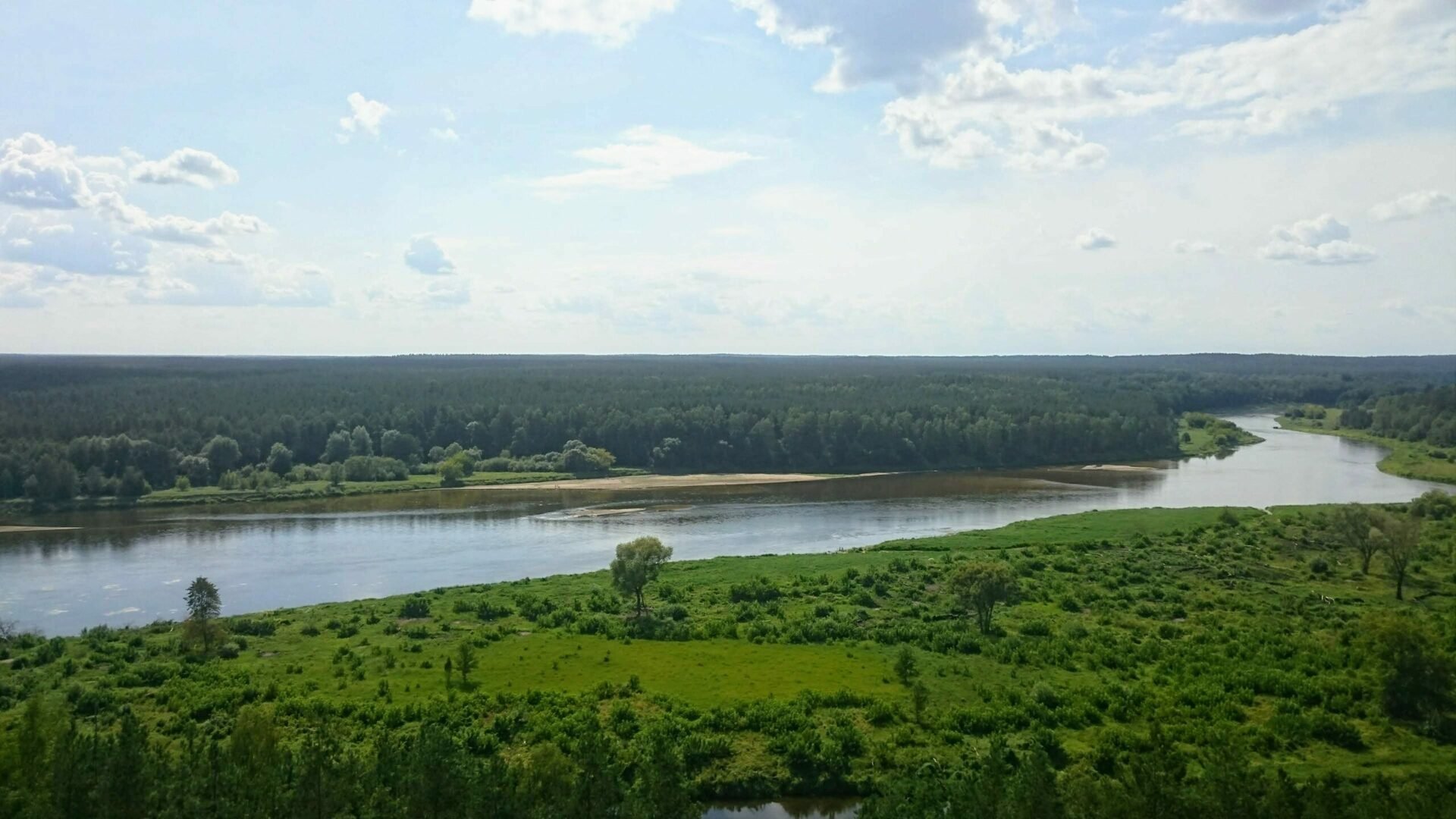
Merkinė Hillfort stands as a key witness to the historic past of this area and is situated on the right bank of the Neman River in between the Stangė and the Merkys Rivers. The steepness of the remaining portion of this mountain-like hill revealed that the castle was built on a high cape located at the confluence of the two rivers. Based on the ruins of the old settlement and the cultural layer, the outer bailey was presumably built on a high and large hill to the east from the Hillfort between the Stangė and the Merkys. Dig sites further away from the Hillfort revealed even older settlements. The present day Merkinė Hillfort is a lot different from the one that stood here several hundred years ago as most of the hill got washed away by the torrential Stangė Creek before the middle of the 20th century.
Merkinė was first mentioned in historical documents back in 1359 as one of the best defended and most important fortresses in Lithuania and the entire Eastern Europe. The castle itself got burned down and rebuilt many times. Merkinė and the surrounding residents were attacked by the Teutonic Order in 1377, 1394 and 1403. The enemy killed many locals and robbed them of their belongings. On November 30, 1391, the castle was taken by the army of Vytautas the Great without a fight. In January 1394, the army burnt it down upon leaving. In addition to the many wars it had suffered, Merkinė Castle also bore witness to important political events. Rulers of Lithuania used to stay at the Castle, resolve internal disputes, discuss foreign strategy and hunt in the surrounding forests. At some point in time, Merkinė had become a city of high standing and was more important than Vilnius. After all, the Grand Duke Jogaila did not waste time to go all the way to Vilnius to grant the city the Magdeburg rights and instead did it here in Merkinė. Enemies had laid siege to Merkinė Castle many times after that right until the fortress lost its defensive importance following the decisive victory of the joint army of the Grand Duchy of Lithuania and the Kingdom of Poland against the
Ethnographic Homestead of Dzūkija National Park
Locations on Maps: https://goo.gl/maps/wNNxFBUeo6iEuCV88

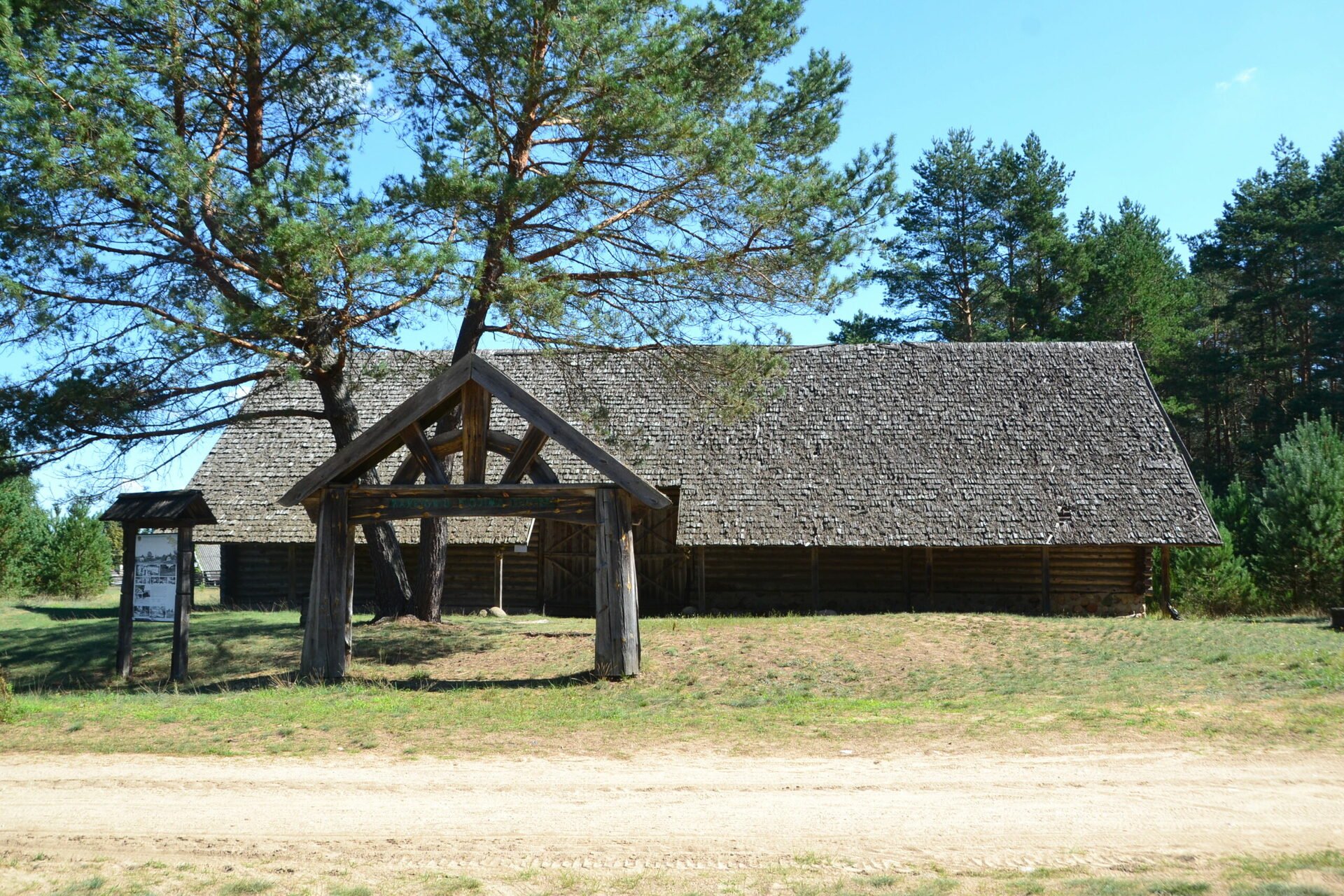
The ethnographic homestead is comprised of the main house and a barn built in 1905. The Dzūkija National Park started collecting the necessary exhibits in 1991 and opened the ethnographic homestead for visitors in 1994. The exhibition is regularly updated with new items collected within the park territory. Tourists can take a look at many old household objects of Dzūkija residents, such as a spinning wheel, a wooden chest, a cradle, a pail, sieves, a sled, a carriage, a weaving loom, a butter churn, an exhibition of the works of local weavers and many other authentic exhibits. An authentic wicker basket that the locals used to call ‘kašikas’ is also on display. This basket is the largest known in Lithuania. It is intended for chanterelle picking and can hold up to 110 kg of mushrooms. The granary built in 2008 is the subject of many folk songs and legends. The courtyard of the homestead also houses several ancient hives that confirm the importance of beekeeping to Dzūkija residents.
The homestead master Jonas greets every guest in the dialect of Dzūkija and tells them tales of ancient times about how the locals would go mushroom picking, fishing and hunting, how they would make fire with a fire striker and light up their way using an old oil lamp (‘dziedas’), how they would go into the woods to pick cranberries wearing bast shoes, and how they would entice bees into a hollow pine tree and then climb up using ropes to gather honey. He speaks of the lifestyle, habits, traditions and crafts of the local people… Master Jonas is also knowledgeable on the legends and myths about Marcinkonys and its surroundings, the lyrical and melodious songs of the old times and the national dishes that the locals enjoyed making during the public holidays.

The ethnographic homestead also offers educational workshops in the crafts of wicker weaving, Easter egg decoration, felting and candle.
Zervynos village
Locations on Maps: https://goo.gl/maps/1jfMU6h7NEwqVqcK9
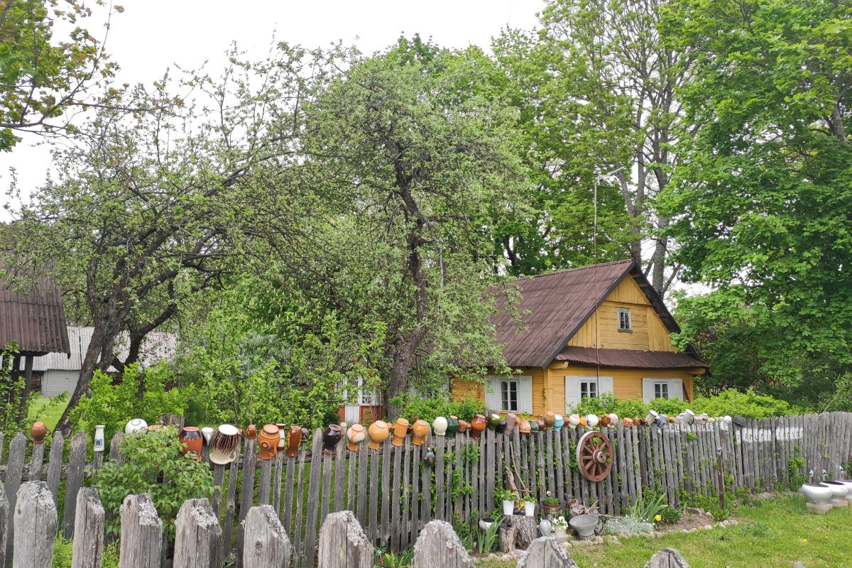
Zervynos is an ethnographic linear village situated on both banks of the River Ūla in Varėna District, within the territory of the Dzūkija National Park. The Village of Zervynos was first mentioned in written documents in 1742. However, proof of settlers dating back to the Paleolithic age have been found: 24 Stone and Bronze Age settlements were discovered nearby.
This village is one of the most authentic Lithuanian settlements. All of its homesteads remained standing at the same locations as two and a half centuries ago. Zervynos was recognized as architectural heritage of national significance and 8 of its homesteads received the status of ethnographic cottages. The winding main street of the village seems to be recreating the twists and turns of the Ūla River. Several small streets that the locals often referred to as ‘ulyčia’ branch away from the main one. Wooden homesteads with thatched roofs (straw, shingle or reed roofs) are situated along these streets.
The famous wooden crosses seem to be an integral part of the village architecture. Most crosses have white aprons hung on them to symbolize the women’s wish to never have a child out of wedlock.
Since ages ago, the local residents have been mostly engaged in fishing, hunting, gathering the gifts of the forest, weaving and twining straw, twigs and sapwood. They are also widely known for beekeeping and tree beekeeping traditions. Hollowed trees, such as Zervynos Oak, are under protection as natural heritage.
For a long time, the Vilkinis and the Tamulevičius have been the only families that resided in Zervynos Village. Any residents with a different last name were outsiders who have come to this village from another place. This fun fact is best confirmed in the Zervynos Cemetery. As one takes a walk among the old gravestones, the majority of the surnames on the markers are the Vilkin.
Varėna education center division of tourism and business information