Have you ever noticed that strange protruding ‘tail’ on the map of Lithuania, like a peninsula sticking out into Belarus? The Dieveniškės Historical Regional Park, which is rich in features of the natural, historical and cultural heritage, is in that tail, or in other words, in the ‘Dieveniškės Loop’. All these attractions can be visited by using the walking, cycling and driving routes developed for your pleasure and convenience by the park directorate.
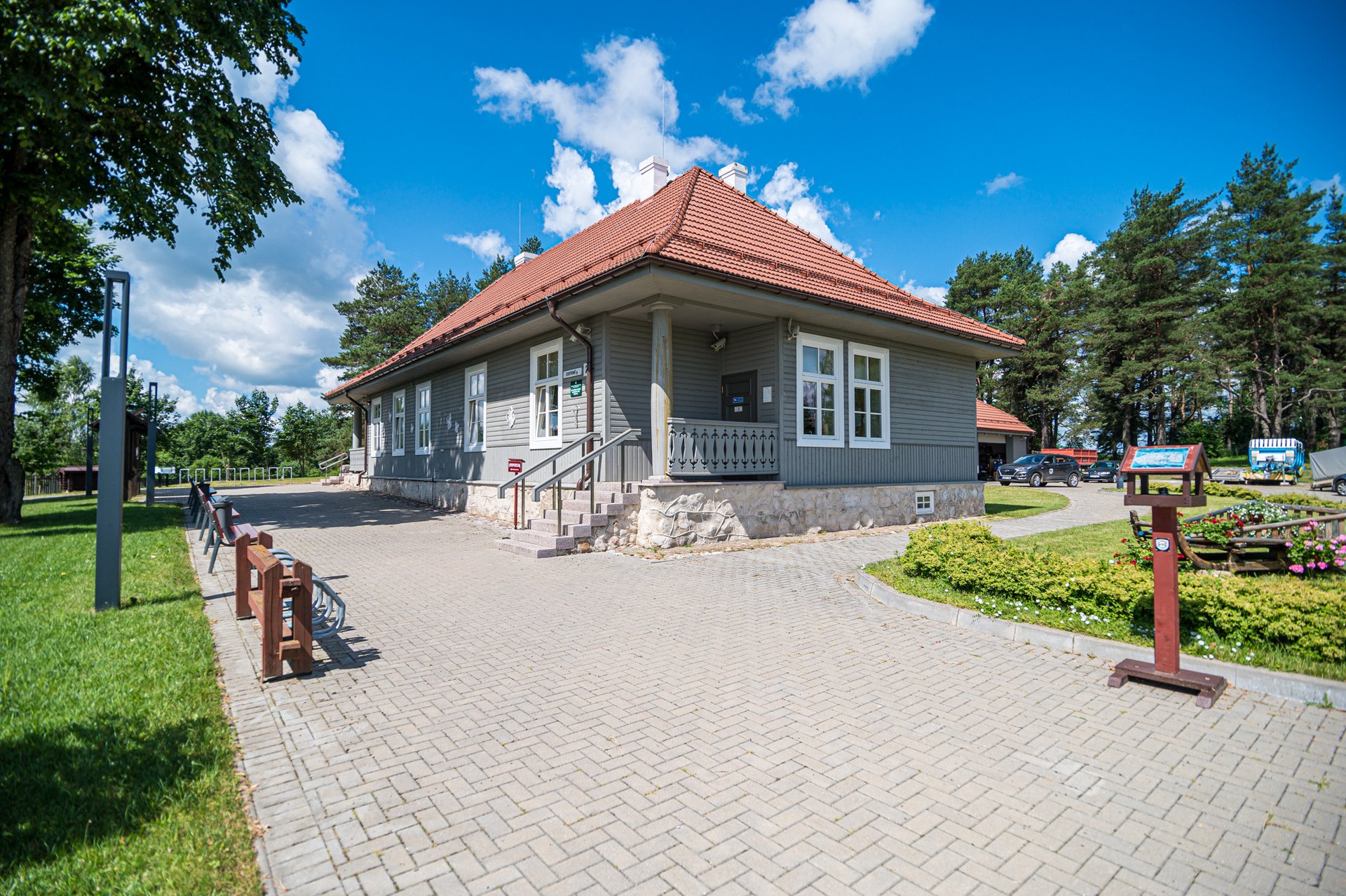
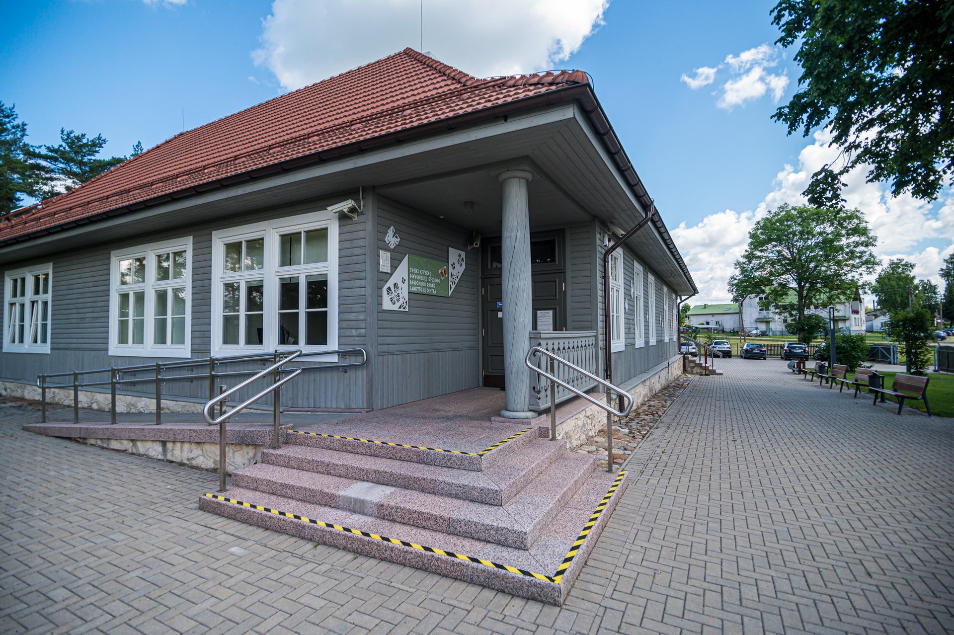
The best place to start a trip is the Visitor Centre of the Dieveniškės Historical Regional Park, which is located in the village of Poškoniai (Centrinė St 2) on the edge of the park. There, you will find all the information you need about features of the natural and cultural heritage in the park, and also suitable places for recreation. In addition, you will be able to plan your trip and buy publications and souvenirs. The Visitor Centre has an exhibition called ‘The Ethnocultural Heritage’, which has been voted by tourists as one of the best in all the country’s protected areas.

Touring around Dieveniškės Historical Regional Park, you will be able to see and visit various objects of the natural and historical heritage.
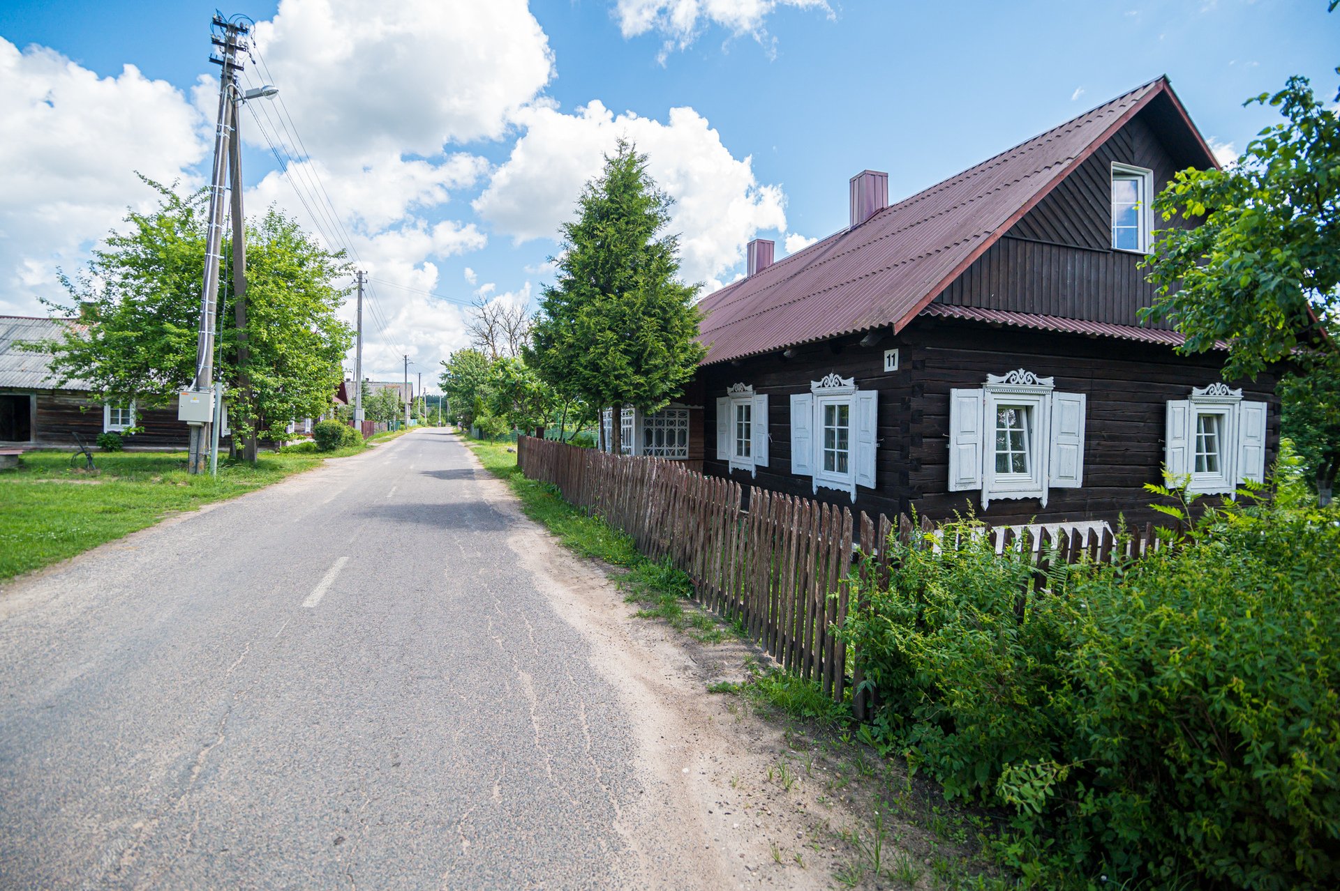
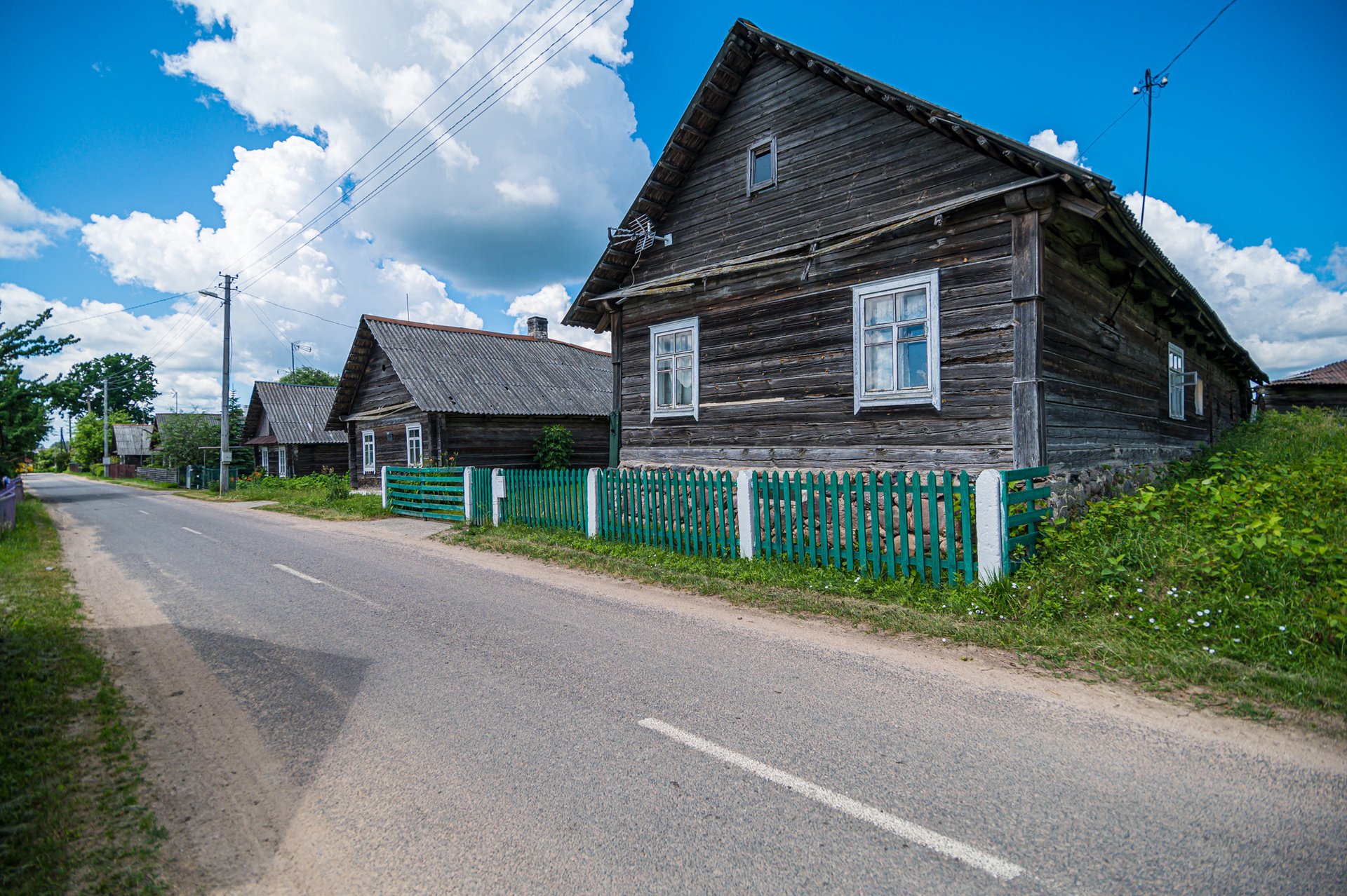
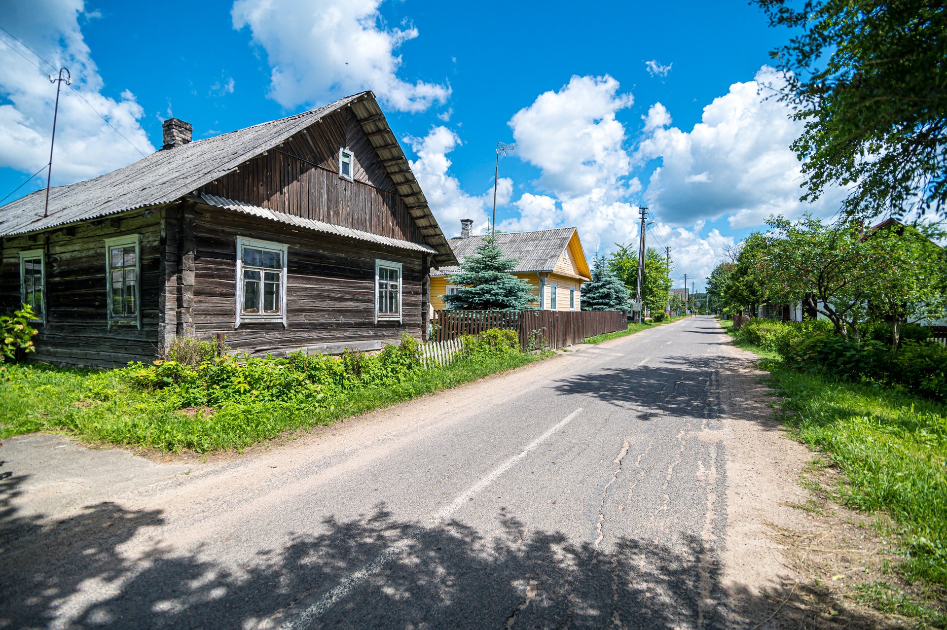
There are 13 single-street ethnographic villages, such as Lastaučikai, Poškonys, Grybiškės and Rimašiai, which were formed by the Valakas land reform of the 16th and 17th centuries. Although they have have kept their structure to this day, most of the present buildings in these villages were constructed in the late 19th or early 20th century.


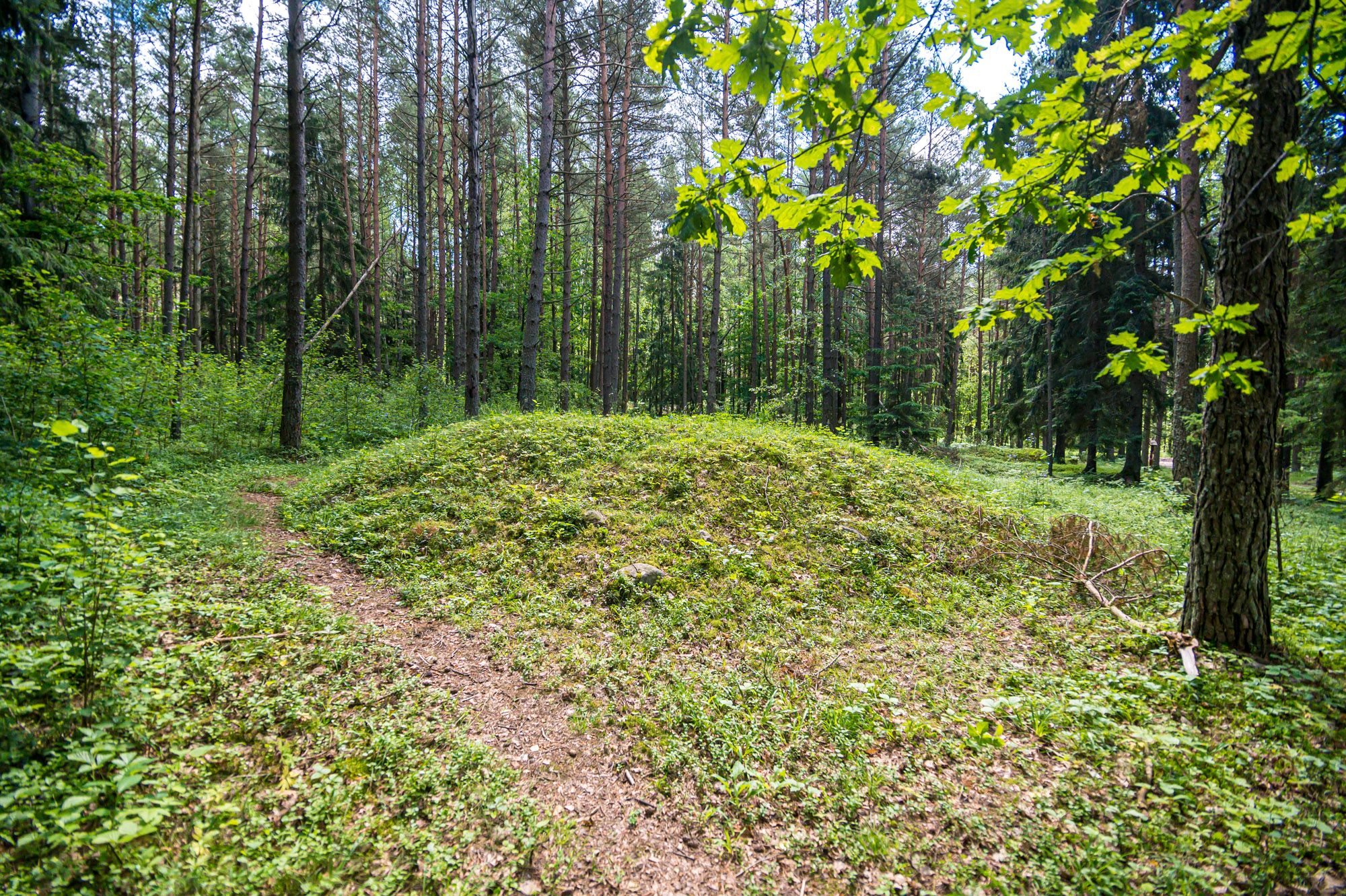
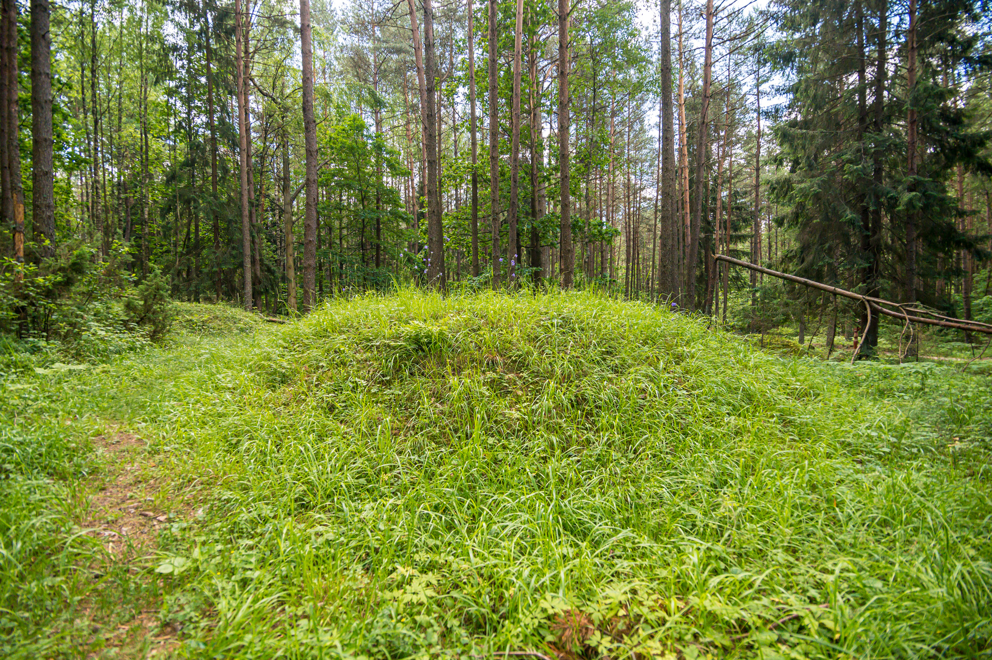
The fifth to sixth-century burial ground at Poškonys is a group of 24 burial mounds, of which the largest is 1.8 metres high and 22 metres in diameter. There is also Stakai burial ground, the biggest in the park (with 42 burial mounds). Archaeological excavations of these burial mounds have found fifth to seventh-century and ninth to 12th-century Lithuanian tribal cremation graves, burials, ornaments, tools, potsherds, and other items that testify to the burial customs of our ancestors.
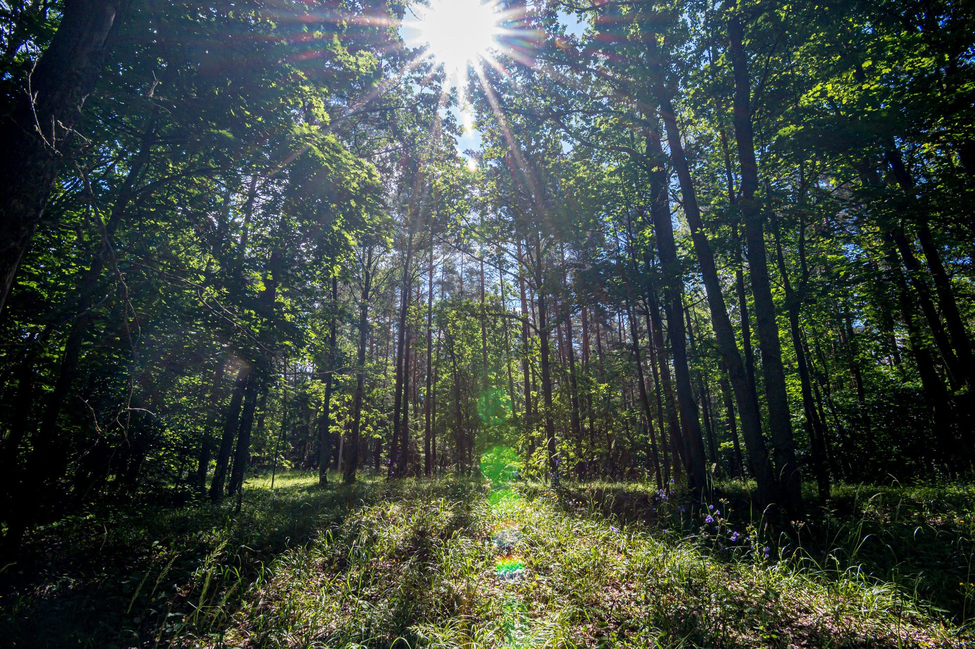
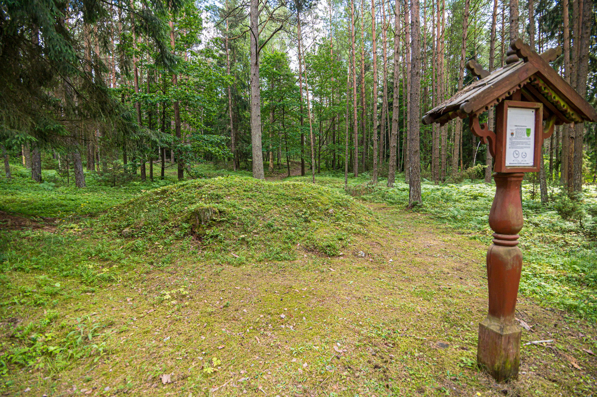
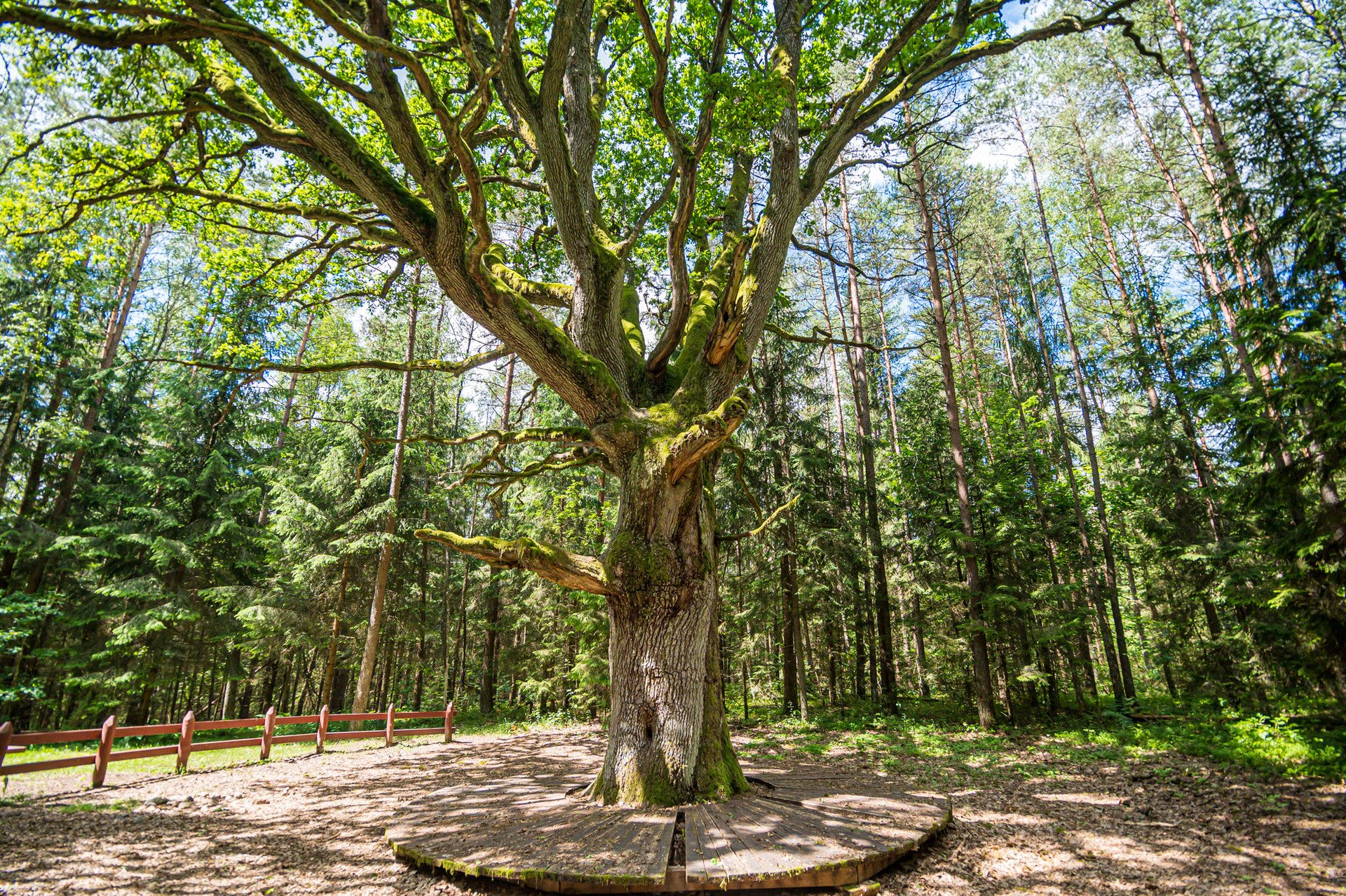
The impressive 1,000-year-old Grybiškės and Stakai oak trees, with their trunks of almost five metres in circumference, are cousins of the famous Stelmužė oak. The Grybiškės pine is a 100-year-old, pine tree with six trunks, which, because of its beauty, age and uniqueness, has been included together with the two oak trees in the list of state-protected objects of the natural heritage.
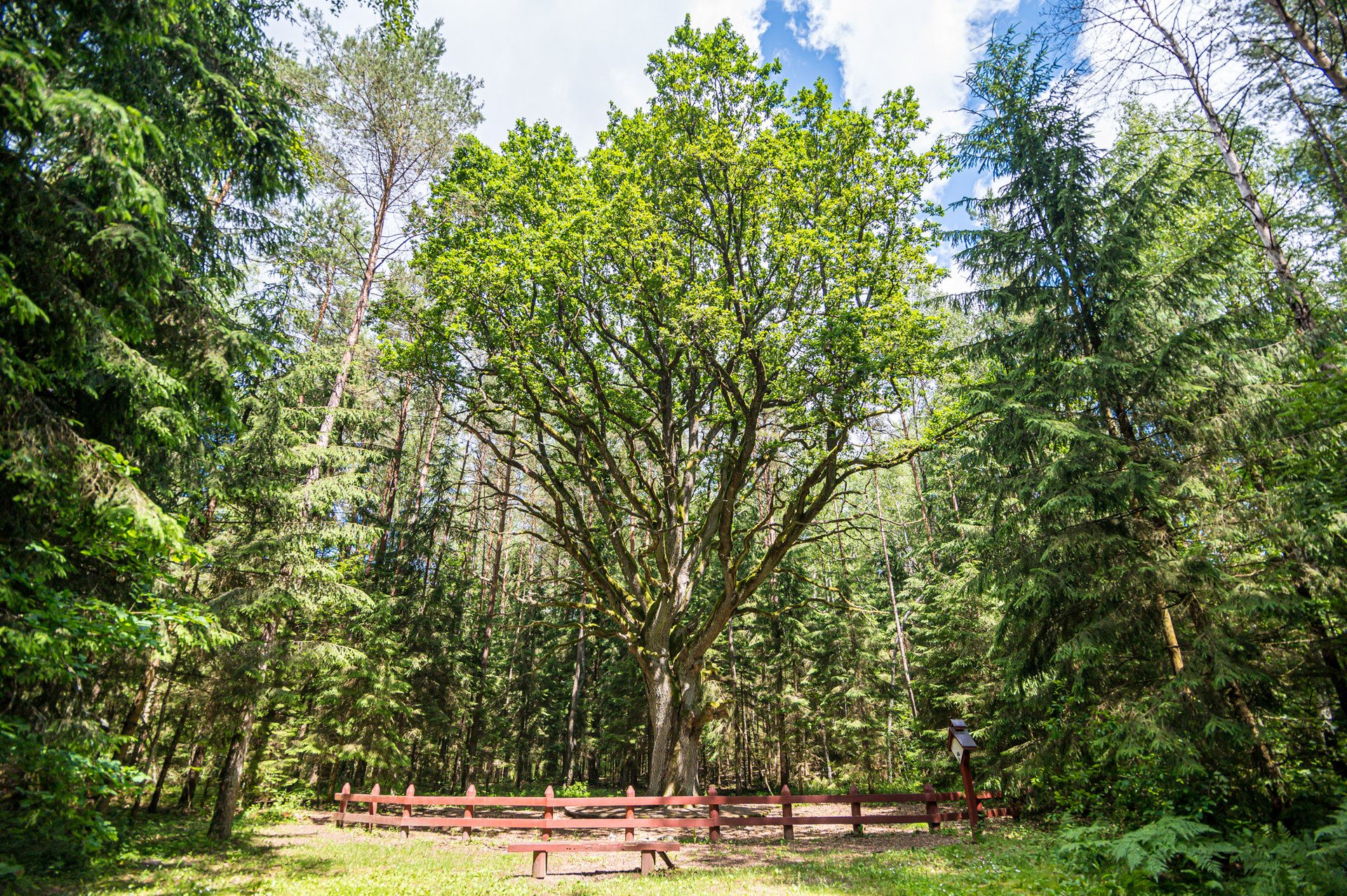

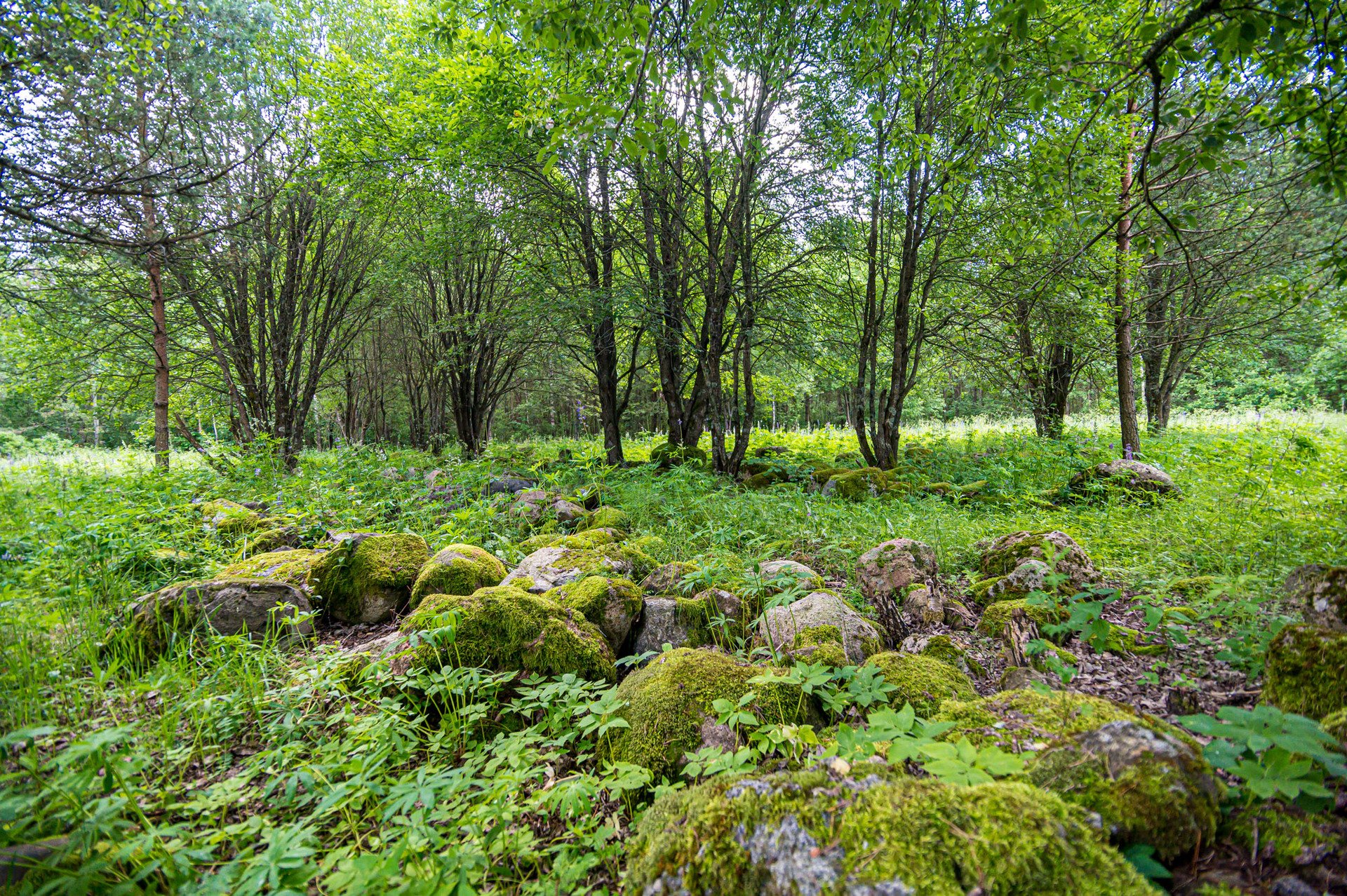
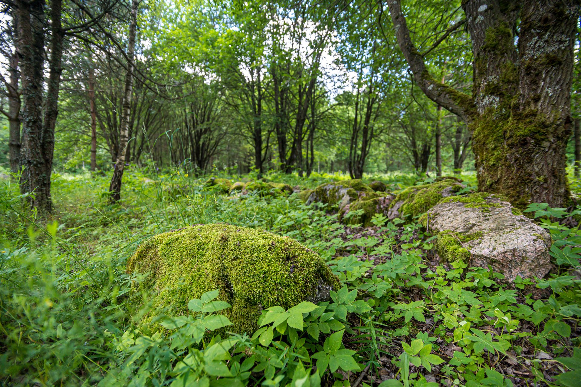
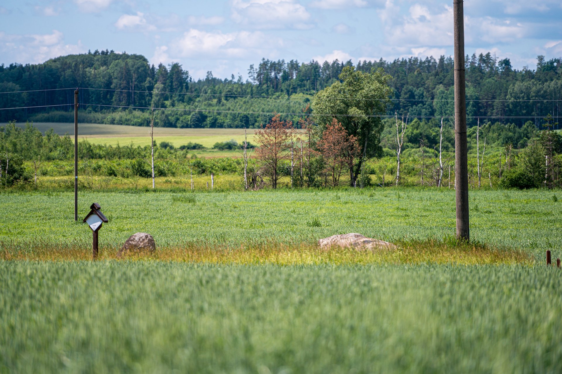
The Rimašiai rock formation is a strange and unique structure that was created in the second half of the 20th century, when stones were collected from the surrounding fields and brought to a forest clearing, forming 13 regular 80-metre-long rows of stones. It is estimated that the rock formation consists of 4,500 boulders. Dieveniškės Historical Regional Park has plenty of large boulders in addition to this rock formation: the Poškoniai, Kalviai, Mokas, Dailidžiai and Žižmai stones, and ‘Jankelis and Jankeliukas’. The park directorate emphasises that the people of the Dieveniškės region have long been surrounded by stones. They were used for domestic uses, building, and religious rites. There are numerous legends about the great stones and their origins, and local folklore attributes a mythological meaning to them.
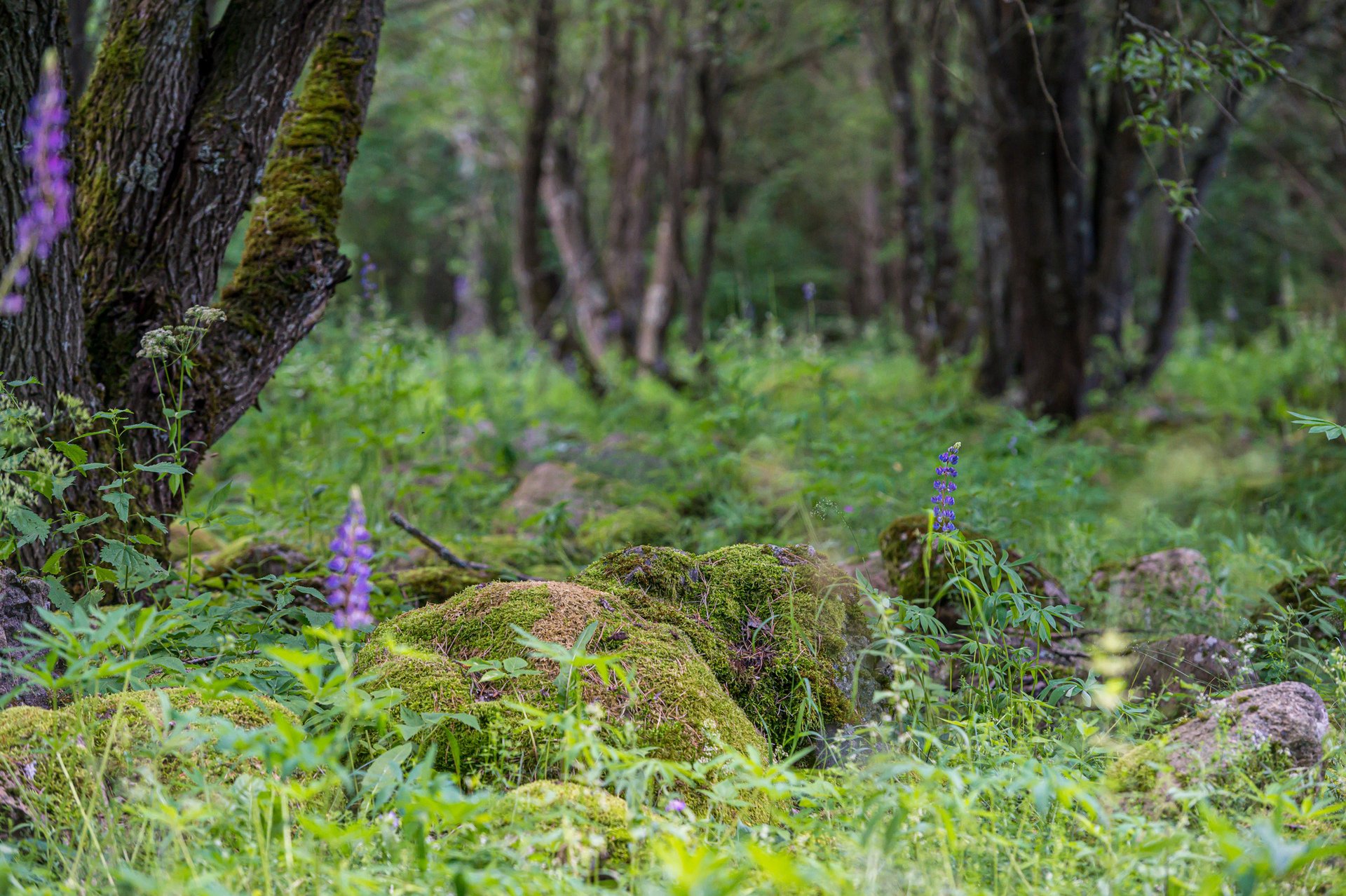
 Bėčionys hillfort was built at the beginning of the first millennium on a separate hill on the right bank of the River Gauja. The slopes of the mound reach a height of 15 to 17 metres, and its size is about 20 by 40 metres. There is a wonderful view of the surrounding area from the top of the hillfort. At the southern foot of the mound, in the mid-20th century, there were still signs of the cultural layer of a settlement, where hand-made pottery with brushed and smooth surfaces was found. Today, with its wooden stairways, shelters, benches, tables and bicycle stands, the mound is suitable for visiting and for having picnics.

The Gauja educational cognitive trail is a 1.8-kilometre circular walk, winding along the banks of the River Gauja, and includes as many as 18 information stands that present detailed information about the plants, breeding animals and natural areas on the way. In 2004, the trail was recognised as the best such walk in Lithuania.

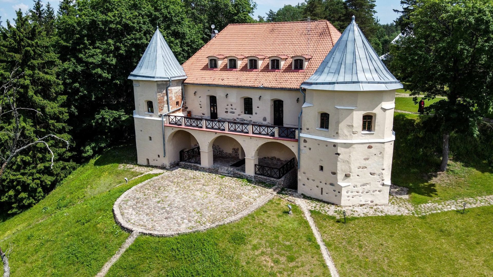
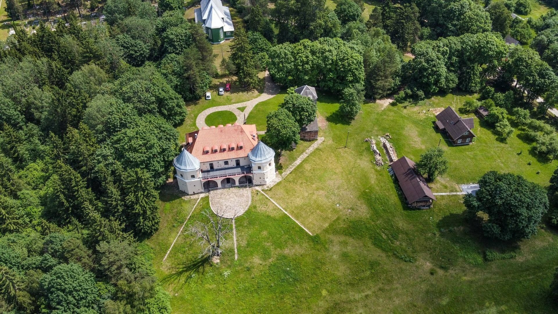
Norviliškės Monastery, which is also known as Norviliškės Castle, with its gatehouse and tower, is an example of 16th-century Renaissance fortified architecture. Consisting of a typical enclosed castle with a courtyard at the centre, it was built by the Šorci family at the end of the 16th century. In 1617, it was granted to the Franciscan ‘little brothers’ of Vilnius, who founded a monastery there in order to spread the Catholic faith in the countryside. The monastery was closed by the Imperial Russian authorities in 1832 after an uprising the previous year, and was turned into a barracks. The army moved out in 1904 and a girls’ school opened in the castle, and continued to operate there until the First World War. Afterwards, the castle was abandoned and gradually fell into decay, until the 21st century. It has been restored and has opened to visitors as a hotel and restaurant, where, by prior arrangement, not only can you taste Medieval dishes, but you can also learn about eating traditions, the history of the castle, and many other interesting subjects, all of which is retold by a local ‘monk’.

A note of practical advice for travellers: when going to the ‘Dieveniškės Loop’, you must have an identity document with you, as it is a border zone; and when travelling around the area, you should ensure that your phone does not switch to the Belarusian network.

